Trail number
Various
Trail length
400 to 650 metres typically.
Elevation variance
40 metres
Trail type
Downhill style trails with the usual rocks and roots in the track surface. Push up type trails are available which take about ten minutes to climb.
Trail surface
Clay, rocks and roots.
Weather affected
Clay based trails can get quite slippery and muddy after wet weather.
Trail condition sources
Nil
Trail features
Typical downhill trails with cut up surface and roots and rocks in the mix as well.
Trail obstacles
Lots of jumps and features on way down. B lines typically available for most obstacles.



Trail rating
Intermediate, Difficult and Extreme
Rating basis
IMBA
Night riding
Not recommended.
Family Friendly
No
No Trail Map
No GPX download
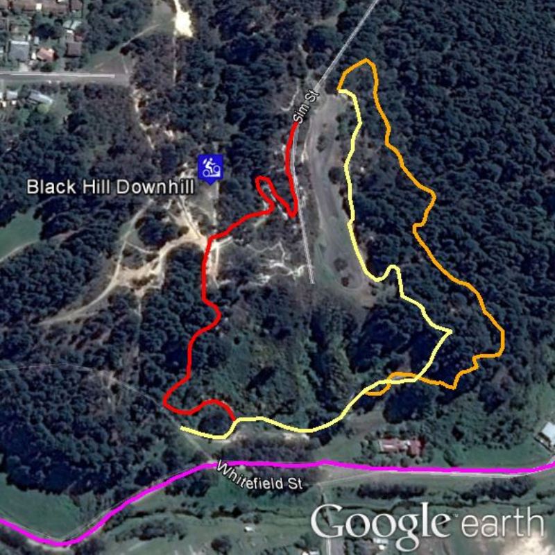
There are a number of downhill runs coming down off the summit of Black Hill. The Facebook page for Club Mud has quite a few photos of the trails and work being undertaken in the area to improve the trails. The map above shows some of the runs previously used for competitions but there are more trails in the area.
Here's a YouTube video of Black Hill from Tom Morgan's You Tube Channel.
Here's a YouTube video of Black Hill from Dipper Lewis's You Tube Channel.
 |
Parking is available at end of Sims Road (at summit lookout area). |
|---|---|
 |
Toilet facilities are available in Sims Road. |
 |
No drinking water is available. |
 |
No food or drinks are available in the immediate area. |
 |
No local information facilities are available. |